
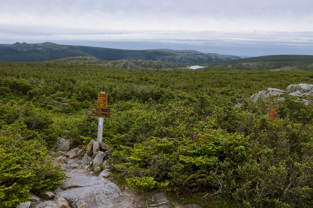
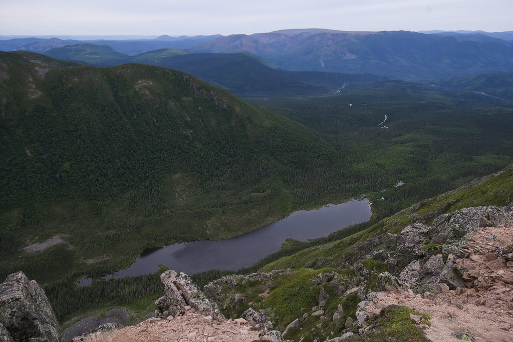
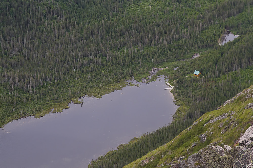
Taking that quick trail to the lookout point gave us an idea of where we were headed - well, the 'shortcut' to where we were headed. Having checked out the maps before hand, having a GPS with us and knowing what the previous refuge looked like, we made our-selves an educated guess that the next refuge had to be 'near-by'. Alas, it was near-by, but we would just have to take a different path to get there. The 2 pictures below show the view of the next cabin (not exactly the next refuge on the trail, but a cabin none-the-less) from the lookout point.


Post a Comment